
3D Layouts
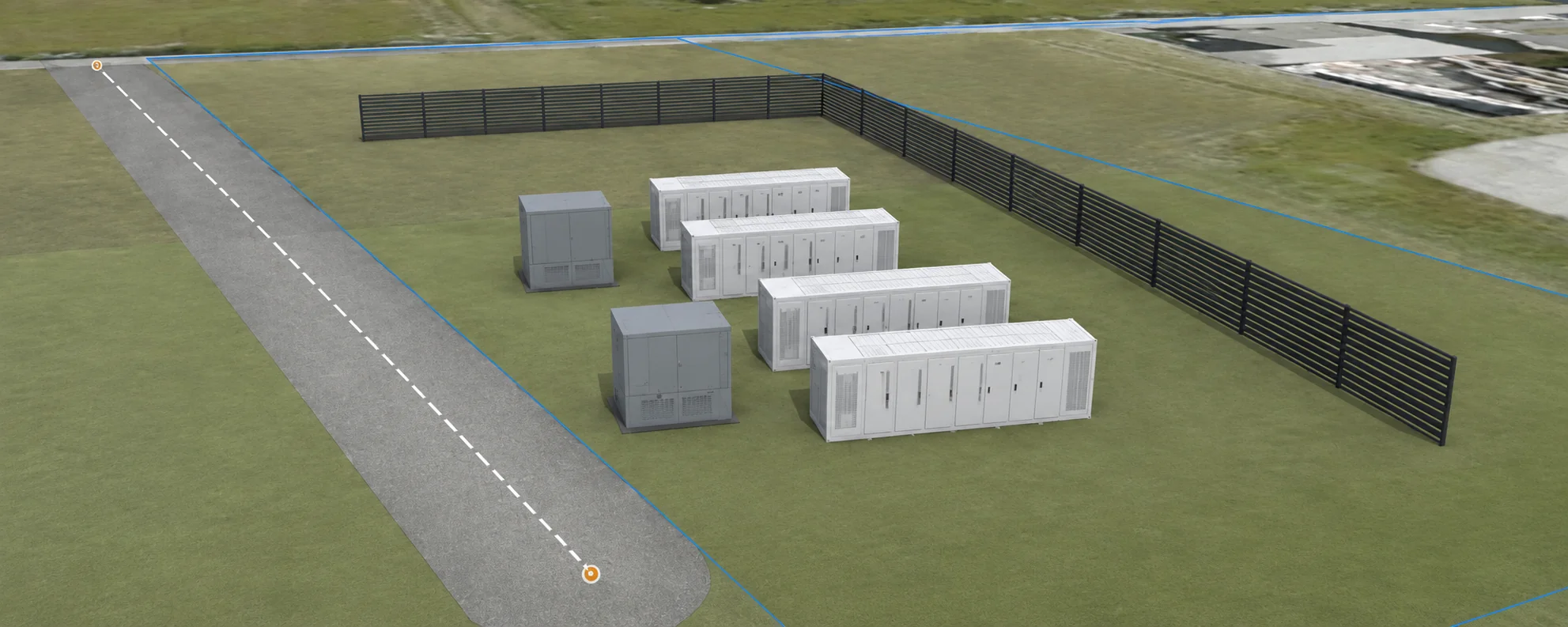
Quickly draw and compare layouts.
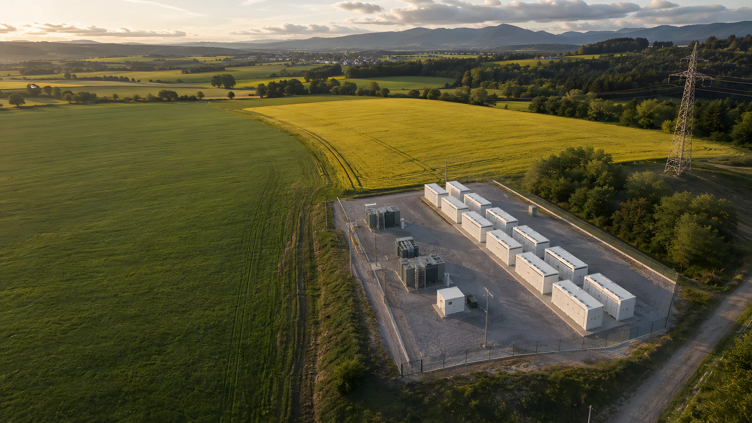

Win more tenders.
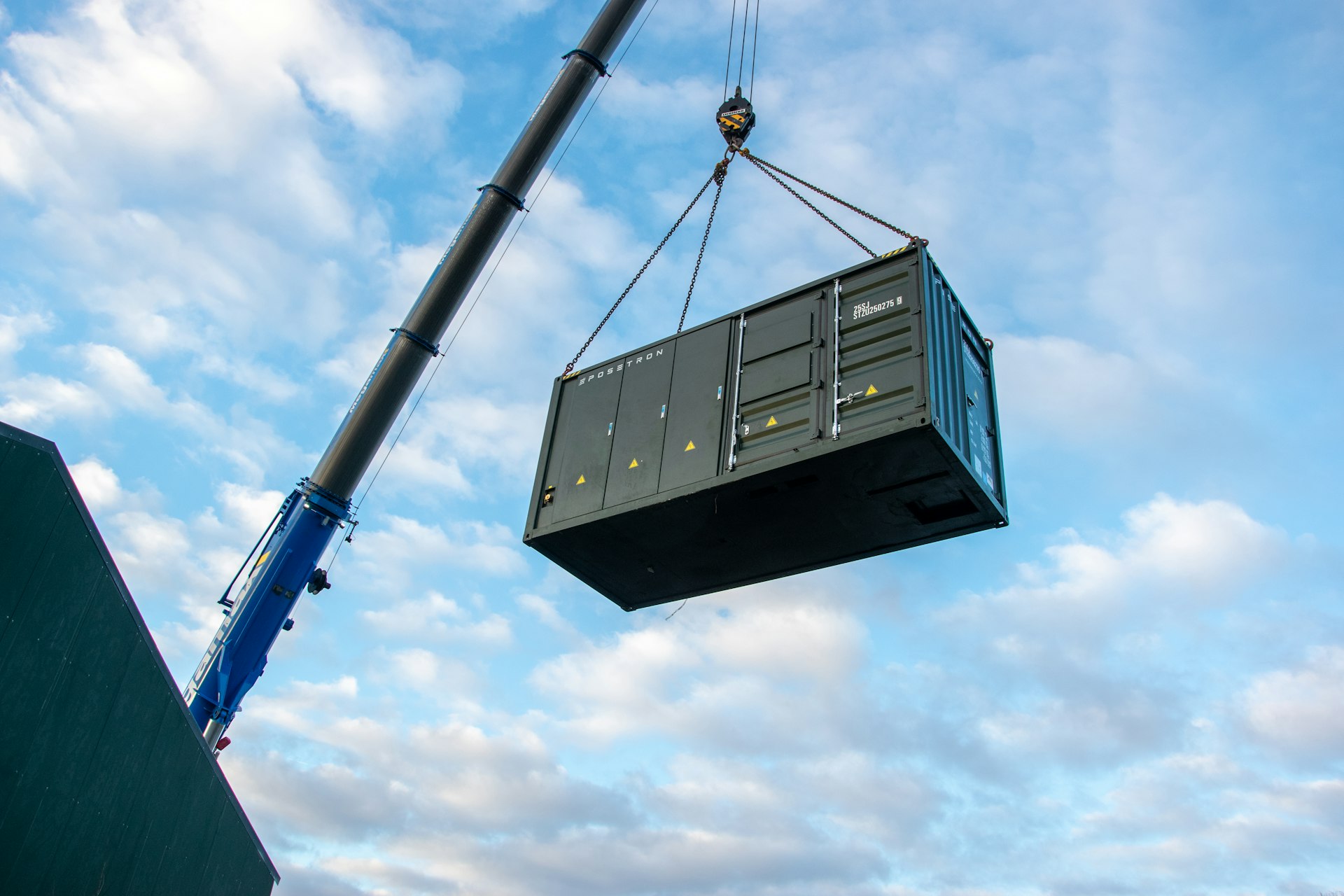
Bring sites to ready-to-build.
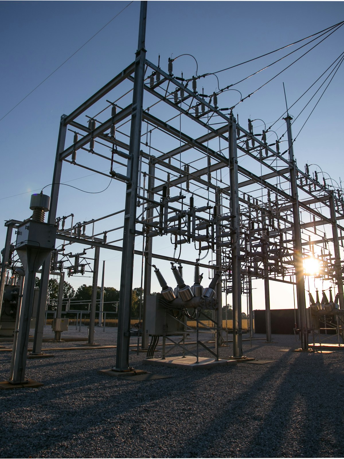
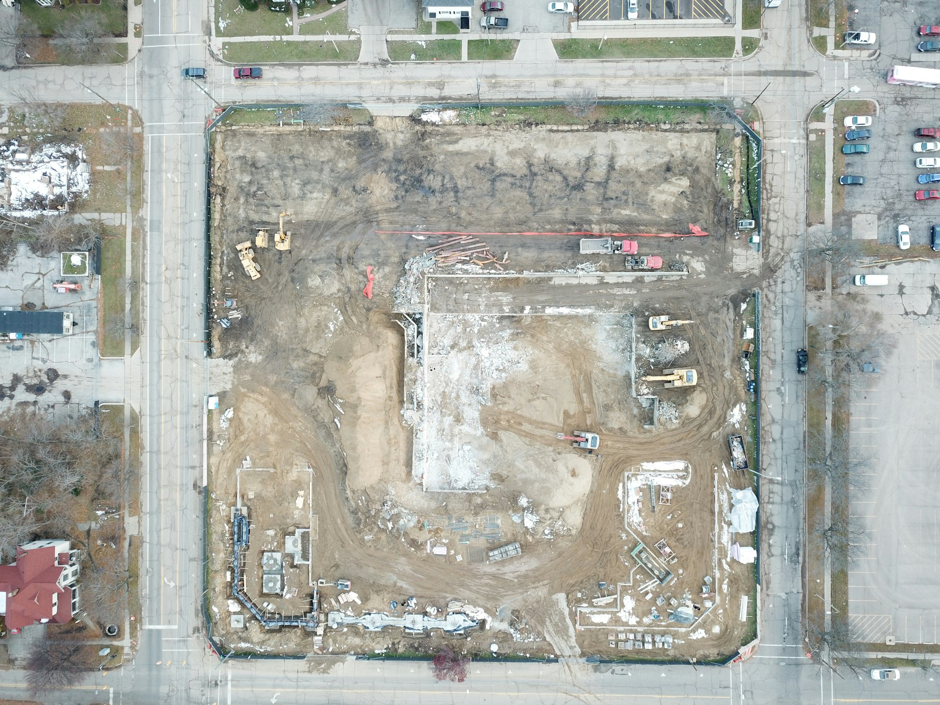
Strengthen security of supply.
From site screening through 3D layout options to a decision basis.
Relevant site, grid, permitting and project data in one traceable site picture.
Draw and compare battery, access, fence and cable layouts on real terrain.
Noise, flooding and protected areas stay visible while options are compared.
Site, layout and assumptions become a handoff-ready basis for the next planning conversation.

Scattered data becomes a solid plan.
Select parcels on the map
Output: Project with a site picture
Zoning, grid and protected areas from 30+ data sources
Output: Prioritised sites
Batteries, access and fence in 3D on real terrain, with noise and flooding
Output: Comparable layout variants + risk picture
Maps, layouts and economics in one report
Output: Planning basis as PDF and DXF
Quickly draw and compare layouts.
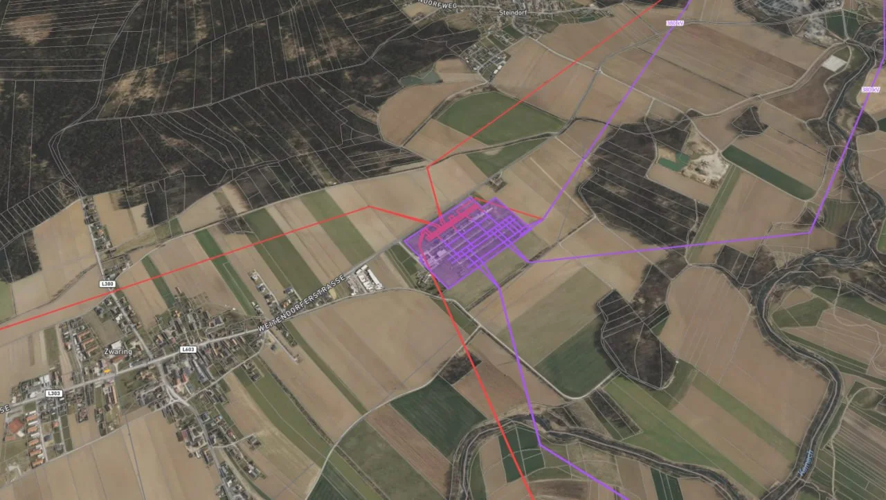
Screen sites with 30+ data sources.
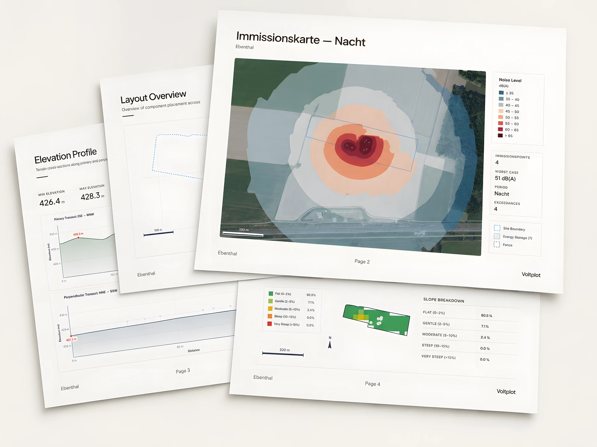
Maps, layouts and economics — as PDF and DXF.
“We don’t want another energy project to start from zero.”

Andreas Mačnik
Co-Founder & CEO
Hannes Lipusch
Co-Founder & CTO


We review it with Voltplot and show the planning basis it can become.